The India Meteorological Department has issued heavy-rain and thunderstorm warnings across more than 10 states and union territories for Saturday, September 19, with the Andaman and Nicobar Islands facing the strongest rainfall risk. The latest warnings cover parts of southern, eastern, northeastern and western India, making this a day to check local forecasts before travelling.
Where has IMD warned of heavy rain today?
According to the September 19 weather bulletin reported from IMD forecasts, isolated heavy rainfall is expected over Andhra Pradesh, east Rajasthan, Kerala and Mahe, Nagaland, Manipur, Mizoram and Tripura, Odisha, south interior Karnataka, Tamil Nadu, Puducherry and Karaikal, and Telangana. The Andaman and Nicobar Islands have a higher risk, with isolated heavy to very heavy rainfall possible.
IMD's current subdivision warnings independently show heavy-rain alerts for Tamil Nadu and Puducherry, Telangana and Nagaland-Manipur-Mizoram-Tripura on September 19. These warnings can change as local meteorological centres issue updated nowcasts, so residents should rely on the latest district-level alert for their exact location.
Thunderstorms and gusty winds are also a concern
Rain is only part of the weather risk. Thunderstorms with lightning are forecast in multiple regions. Bihar, Tamil Nadu, Puducherry, Karaikal and the Andaman and Nicobar Islands may see gusty winds around 40 to 50 km/h in isolated areas, while several other regions may see winds around 30 to 40 km/h with thunderstorms.
Current IMD subdivision warnings also flag thunderstorms and lightning for areas including Jharkhand, Gangetic West Bengal, Konkan and Goa, Telangana and parts of the Northeast. Conditions can be highly localised, meaning one district can see intense weather while nearby areas receive much less rain.
Marine warning for the Arabian Sea and Bay of Bengal
The weather bulletin also warns of rough conditions over parts of the Arabian Sea, the southwest Bay of Bengal and the Andaman Sea. Winds in some marine areas could reach 45 to 55 km/h, gusting to about 65 km/h. Fishermen should follow local IMD and coastal authority advisories before heading out to sea.
What does the forecast look like for September 20?
The unsettled spell does not end everywhere tonight. IMD's subdivision forecasts continue heavy-rain warnings into September 20 for Tamil Nadu and Puducherry, Telangana and Nagaland-Manipur-Mizoram-Tripura. Konkan and Goa currently carries a thunderstorm and lightning warning for September 20, with heavy rain appearing in its forecast from September 21.
That makes the next 24 to 48 hours particularly important for travellers and people in rain-prone areas. Forecasts should be checked again on Sunday morning because the location and intensity of thunderstorms can shift quickly.
Why the late-monsoon weather matters
The rain arrives during an unusual monsoon season. Headline Thread has been tracking how El Niño and rainfall deficits have affected India's 2026 monsoon. Earlier IMD data showed substantial regional deficits even as intense short-duration rain episodes affected individual states.
The uneven rainfall pattern also has economic consequences. A recent assessment found that India's rice output could fall as weak monsoon conditions hit crops, illustrating why both rainfall totals and their timing matter for agriculture.
What people should do during a thunderstorm warning
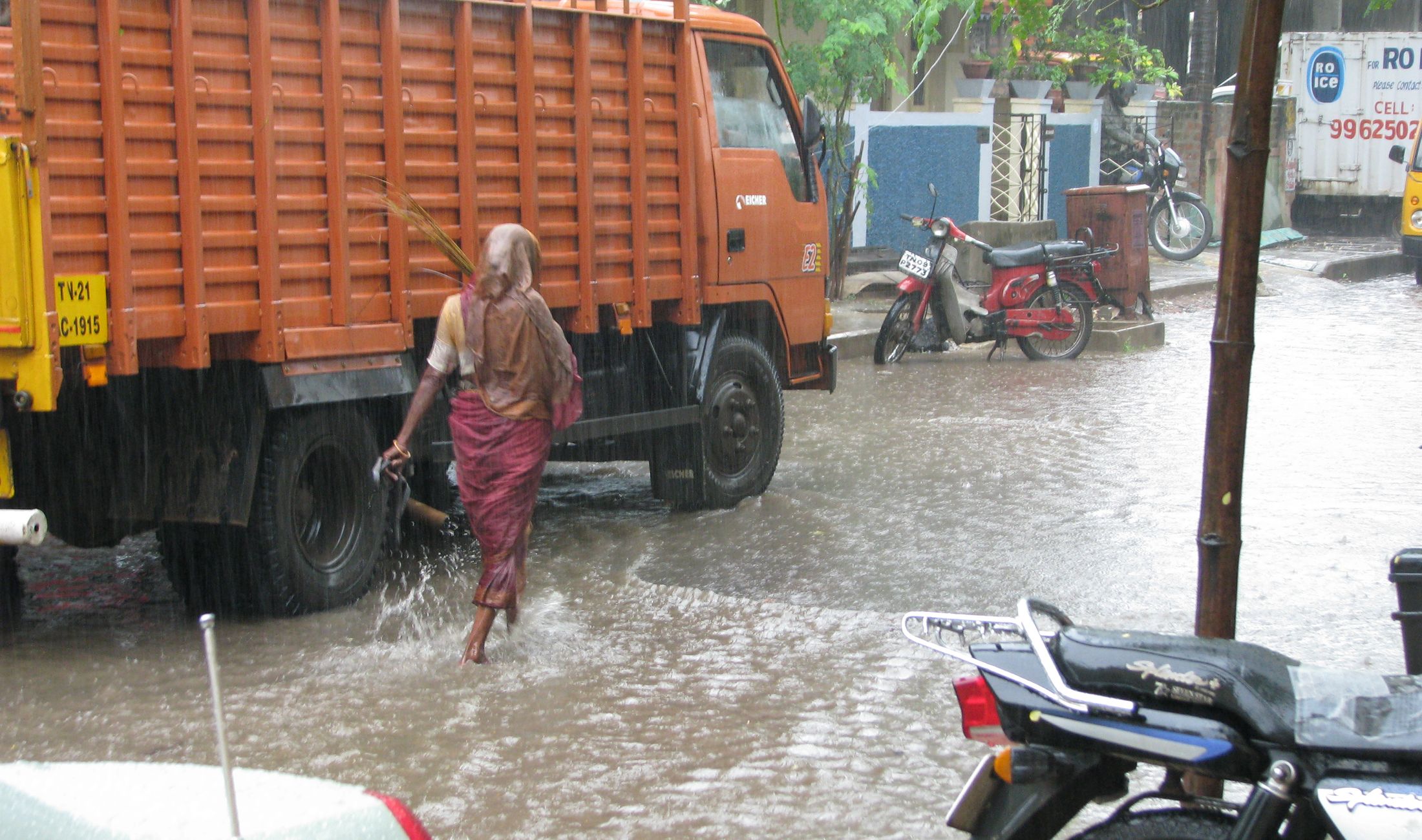
Avoid open fields, exposed hilltops and sheltering under isolated trees during lightning. In cities, allow extra travel time where intense rain can cause temporary waterlogging. People in vulnerable coastal or hilly areas should pay particular attention to district administration and local weather alerts rather than relying only on a national forecast.
Because this is a developing weather situation, the most useful update is the latest IMD district warning or nowcast. The national outlook identifies the broad risk, while local alerts provide the detail needed for travel and safety decisions.